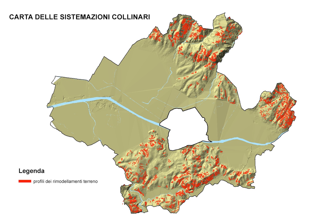
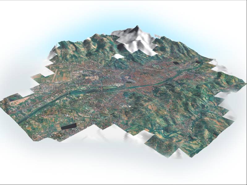
One of the most important features that distinguish the city of Florence is the presence of a peri-urban area that is still carachterized by agricultural activities with extraordinary landscape values. These are the result of the combination of agricultural crops and settlement systems of great historical persistence, enhanced by a morphology characterized by hilly areas with scenic values absolutely unique in the national and international scenery, as well as agricultural mosaics with great biocultural diversity.
This research focuses on the municipal territory of Florence, part of the areas for the Monitoring System of the Tuscan Landscape, with the aim of investigate the relationship between city and countryside, often seen as a confrontation and not as functional integration. The Florentine rural landscape preserves features that is necessary to highlight, to inform the public and policy makers of its values and its problems; for this reason the investigation has not examined the settlement aspects, or the socio-economic and demographic changes, which have already been examined in various publications, but it is especially dedicated to the agro-silvo-pastoral features.
Dowload here the article from the Florens 2012 publication.
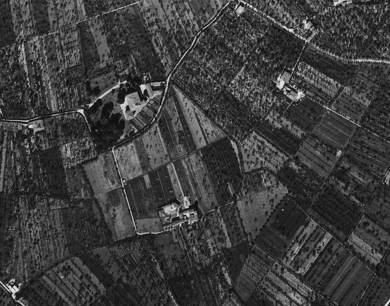
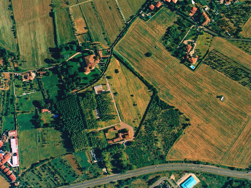
Comparison between an aerial photograph of 1954 and a current one, in the south-east part of the Florence Municipality.
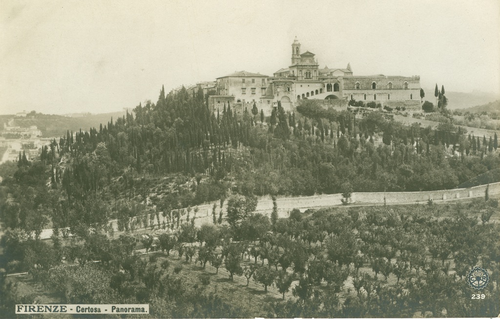
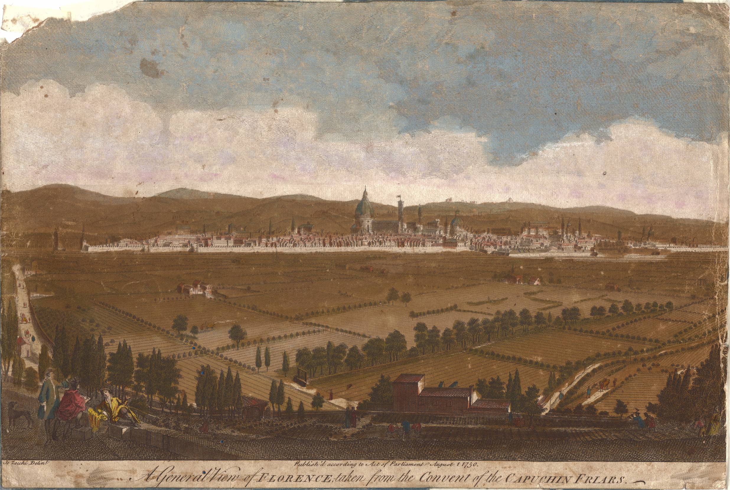
Two historical images of the countryside around the city of Florence: the Florence Charterhouse in an old postcard and a view of the city in 1744 (Museo Firenze Com’Era).
The growth of the city from 1832 to 2003 has almost entirely occupied the whole flat area.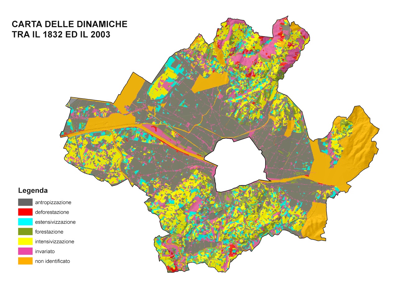
The hills sorrounding the city are still carachterized by cultivated terraces.
