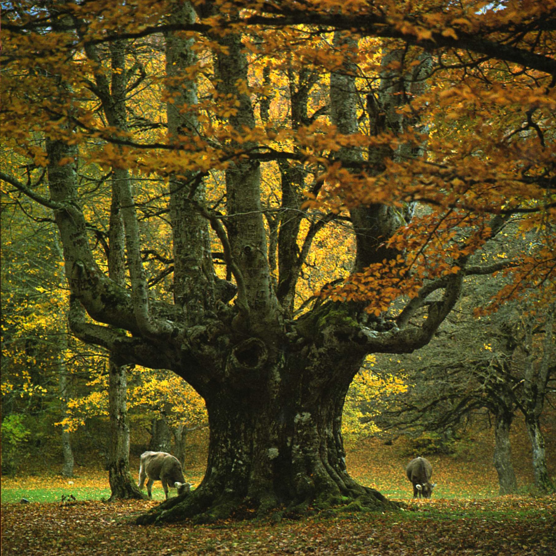
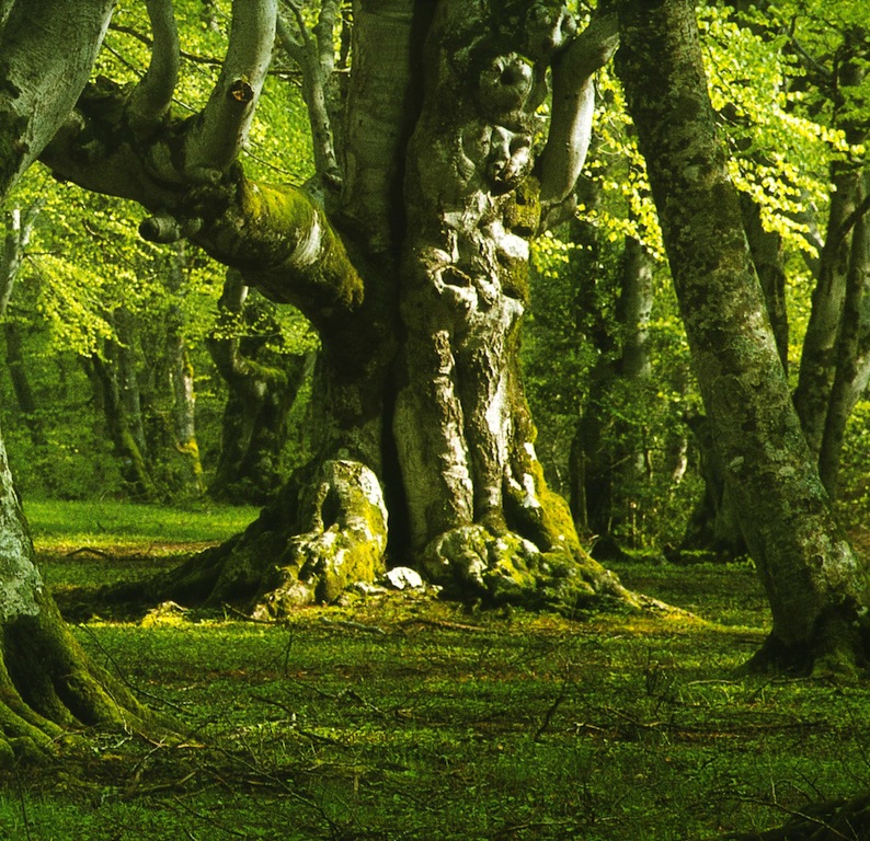
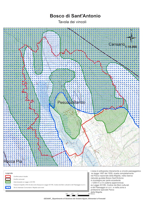
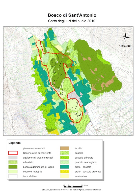
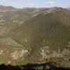
The Sant’Antonio Wood in Pescocostanzo (AQ), une of the main wooded pastures, that in Abruzzo are called difesa, is famous for monumental trees of beech, acer, pear-tree, carachterized by their shape due to the traditional practice of pollarding. The pollarding were traditionally applied to obtain forage for the cattle, firewood and to containe the foliage. The disappearance of the traditional use of the wooded pasture, and the suspension of the management of pollarding, are causing the slow but inexorable deterioration of the tree structure: higher trees and wider foliage, closing of the clearings, progressive reduction and in some disappearance of the grass in the woodland. Other threats are related to the large number of visitors and tourists in the spring-summer period. The Sant’Antonio Wood is included within a National Park and the most of it is classified as an integral reserve. This, on the one hand, hinders the action necessary to recover the functionality and the traditional landscape of wooded pasture, and on the other hand, is not sufficient to protect the wood from the damage due to the high number of tourists. The Common Agricultural Policy is increasingly concerned about the exploitation of traditional agricultural landscapes, which are recognized as an added value to the products of the territory. In the hills and mountains, we can find an integration between woodland and pasture, and there are many wooded pastures, particular arboreal formations, so far little studied, characterized by high landscape and cultural values. The ability to preserve the wooded pastures is closely linked to management practices, which over time have given their shape and since some decades have been interrupted as a result of the decrease of grazing activity.
The research was based on an analysis of the evolution of the forest since the first steps that were taken to safeguard this wood (1953). This analysis is preliminary to the definition of guidelines for a management plan aimed at the rehabilitation of wooded pasture and of pollarding, and is based on the chronological comparison with aerial photographs of the expansion of the forest (1954-2010) and the closure of the open areas, and ground surveys to investigate the dimensional evolution of individual trees from 1987 to present.
